Published 2 September 2026
The GTA 6 map: six regions of Leonida, explained
GTA 6 is not a Vice City game with some countryside attached. Rockstar frames it as a whole state — Leonida — and has named six distinct regions inside it, giving each its own piece of official postcard artwork. Here is what that material actually shows, region by region, and where the evidence stops.
The short answer
Rockstar has named six regions of the state of Leonida: Vice City, the Leonida Keys, Grassrivers, Port Gellhorn, Ambrosia and Mount Kalaga, each with its own official postcard artwork. No official map has been published, so the overall size and the borders between regions remain unknown.
Leonida is the setting; Vice City is one part of it
The fictional state of Leonida stands in for Florida, and Vice City sits inside it rather than being the whole of it. That framing matters for expectations: the city is the centrepiece, but Rockstar's own location material on the official GTA VI site treats it as one of six named areas rather than the entire playable space.
Alongside the second trailer, Rockstar published a large batch of screenshots — roughly eighty-five — covering the city and the regions around it. As GTABase's map breakdown notes, most of what is reliably known about the map's variety comes from that set and the postcard artwork rather than from any published map image.
Vice City
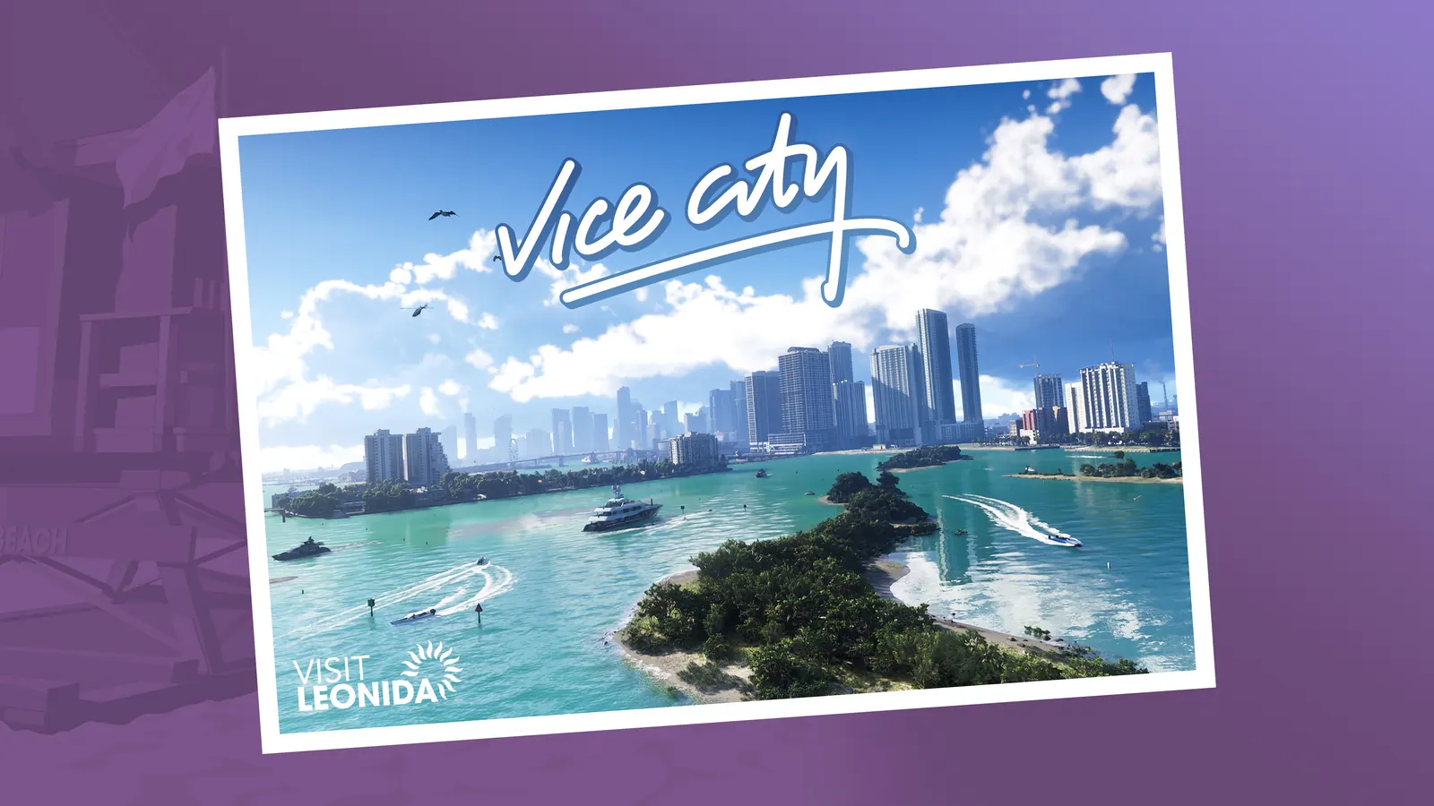
The metropolitan heart of the state, presented as modern-day rather than as a 1980s period piece — a decision that separates this from the Vice City of 2002 entirely. Beaches, high-rise districts, causeways and a nightlife economy dominate what has been shown.
There is no confirmed district list for Vice City. Neighbourhood names circulating from leaks and datamines are unconfirmed, and Rockstar has published no city map.
The Leonida Keys
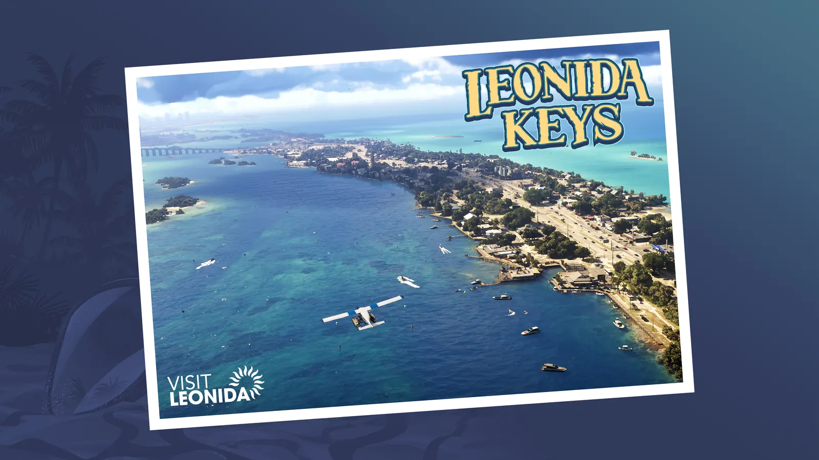
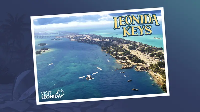
A tropical archipelago of bridge-linked islands, shown with beach bars, boats, a seaplane, divers and marine life. Key Lento is a named town here. This is the region that most clearly implies traversal that is not driving — boats and aircraft as transport rather than as toys.
Grassrivers
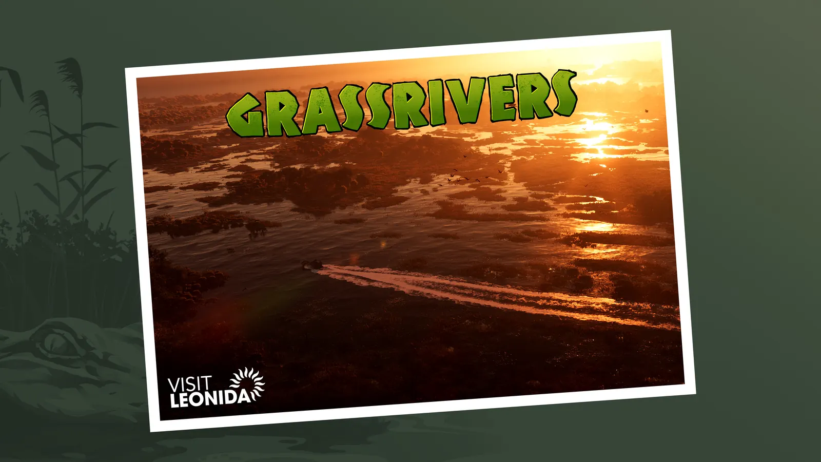
The wetland region, Leonida's answer to the Everglades, and the most environmentally distinct area in the published material. Airboats, sawgrass, waterways and wildlife — terrain that behaves differently from anything in GTA V's map.
Port Gellhorn
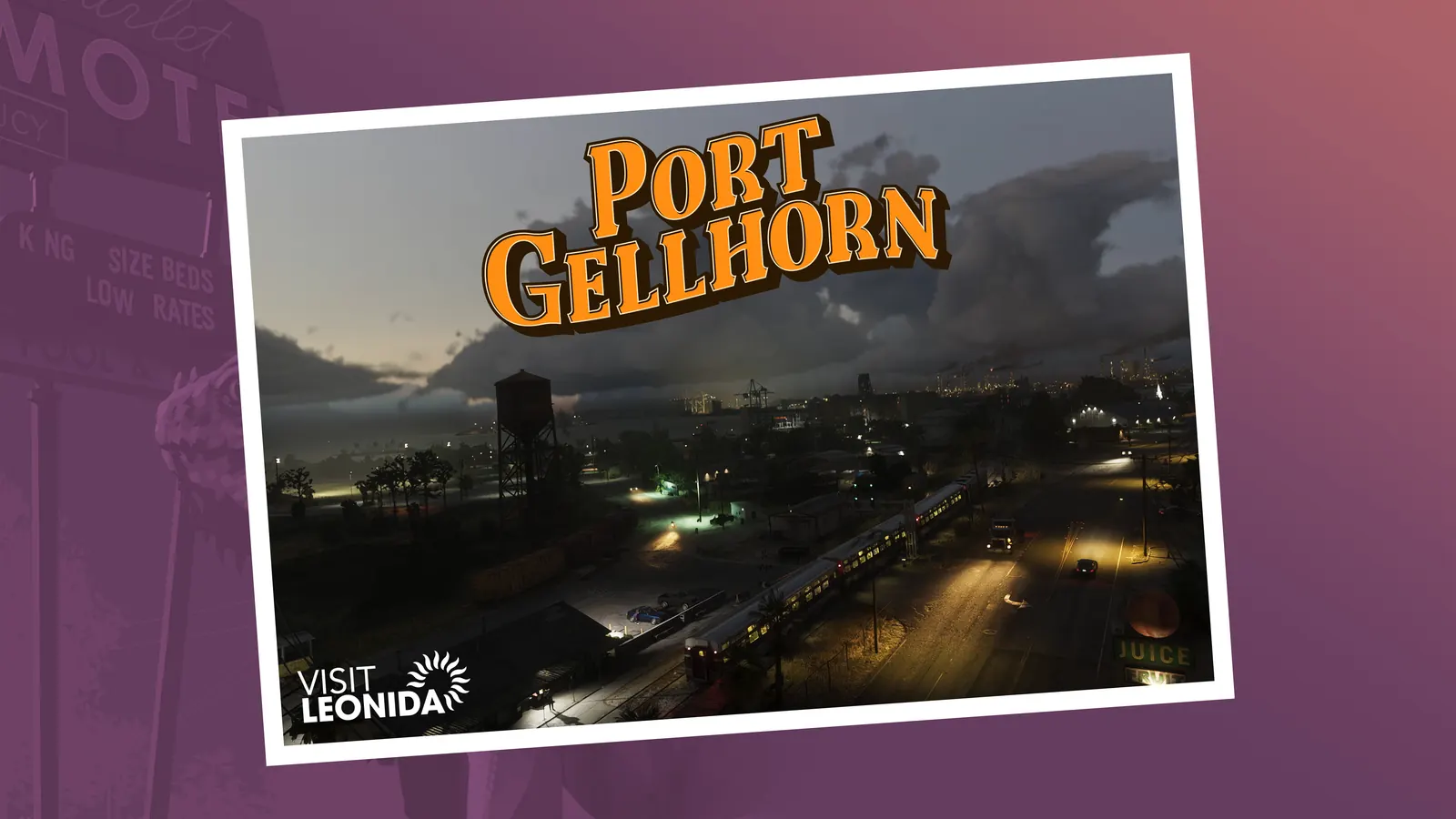
A faded former holiday destination: cheap motels, shuttered attractions, empty strip malls, and an economy that has drifted into illicit trade. Of the six, this is the one whose artwork carries the clearest narrative — a place with a past tense.
Ambrosia
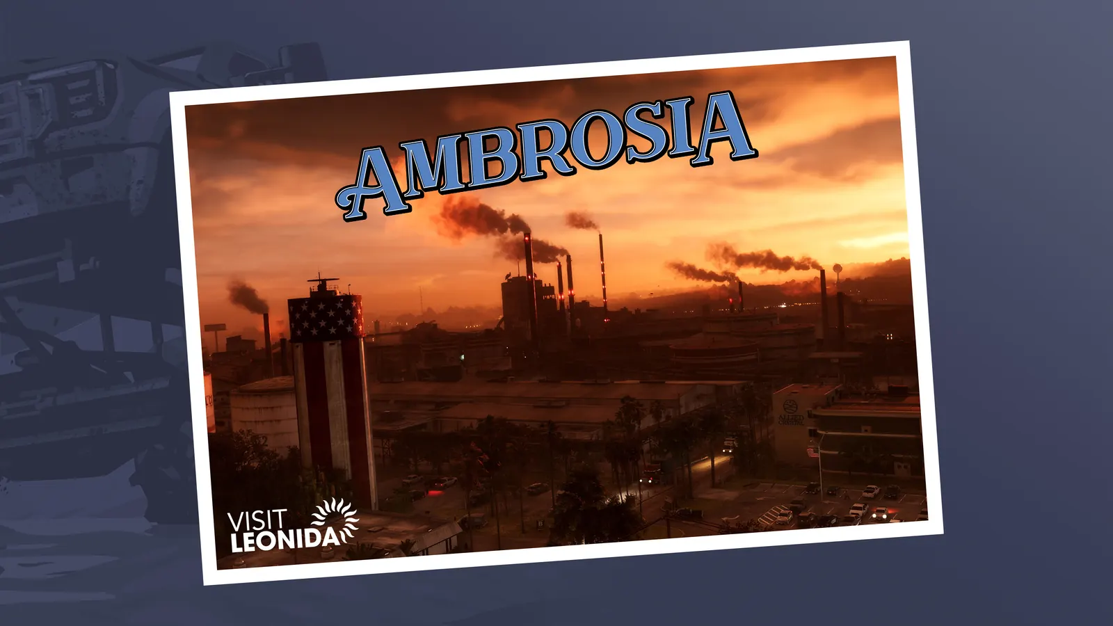
The industrial interior, where a sugar refinery is the main employer and a local biker gang holds influence. Agricultural and industrial rather than scenic — the working part of the state.
Mount Kalaga National Park
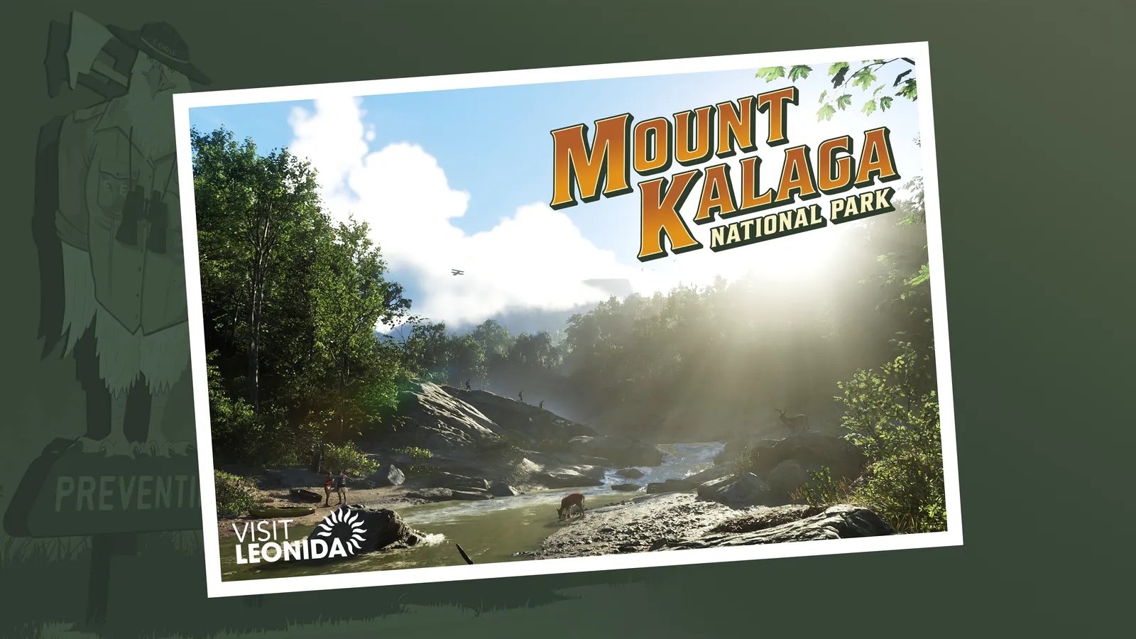
The forested northern edge of the state, with hunting, fishing and off-road trails through wooded ridges and streams. Dirt bikes and ATVs feature in the material here, and it is the region furthest in character from Vice City.
What this suggests about how the map plays
The spread of regions points at variety of activity rather than just square mileage. Boats and a seaplane in the Keys, airboats in Grassrivers, dirt bikes around Mount Kalaga, and an industrial interior with its own local power structure all imply a map organised by what you do in each place rather than by distance between city districts. Beebom's location roundup makes a similar read of the postcard set.
Comparisons to GTA V's map size — the widely repeated figure of roughly seventy per cent larger — are estimates from press and community analysis, not a Rockstar number. There is no published square-kilometre figure for either game, so any percentage is a comparison of two estimates.
What Rockstar has not said
There is no official full map image, no confirmed district list for Vice City, and no stated area figure. Region names beyond these six are unconfirmed, as are interior and neighbourhood names circulating from datamines. If a map looks suspiciously complete this far out, it is not coming from Rockstar.
One more absence worth knowing: none of this map is shared space at launch. GTA 6 ships without an online mode, so Leonida is a single-player world for however long it takes Rockstar to add one. When that changes, crossing it with people you picked rather than with strangers is what the GTA 6 crew finder is for.
Frequently asked questions
How many regions does the GTA 6 map have?
Six are named in official material: Vice City, the Leonida Keys, Grassrivers, Port Gellhorn, Ambrosia and Mount Kalaga National Park. Rockstar has produced postcard artwork for each. Whether these are the only regions is not confirmed.
Is Vice City the whole GTA 6 map?
No. Vice City is the metropolitan centre of the state of Leonida, which also contains five other named regions ranging from tropical islands to wetlands, industrial interior and forested national park.
How big is the GTA 6 map?
Rockstar has published no size figure. The frequently repeated claim that it is around 70% larger than GTA V's map is a press and community estimate, not an official number, and GTA V's own area was never officially published either.
Is there an official GTA 6 map image?
No. Rockstar has not released a full map image. What exists is postcard artwork for six named regions plus roughly eighty-five screenshots published alongside the second trailer.
Is GTA 6 set in the 1980s like the original Vice City?
No. GTA 6's Vice City is presented as modern-day. The 1980s setting belongs to 2002's Grand Theft Auto: Vice City, a different game in the same fictional city.